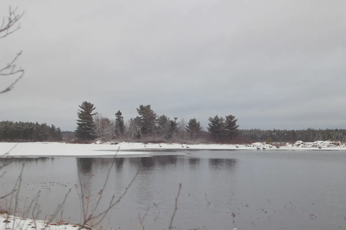
A village shaped by water
Fall River is a community in the Halifax Regional Municipality, tucked between Bedford, Lower Sackville, Waverley, and the airport. It is not a city or a town. It is a collection of neighbourhoods wrapped around lakes, connected by the old road and the highways that carry people to work, school, and the city.
The name comes from a stream between Miller Lake and Lake Thomas. That stream once dropped through a waterfall, and the falling water gave the community its name. Long before European settlement, Mi’kmaq people and their predecessors used these waterways as a portage route connecting with the Shubenacadie Valley. The Shubenacadie Canal story follows that route through the community.
Where is Fall River?
Fall River sits north of Bedford and Lower Sackville, south of Halifax Stanfield International Airport, and inside the Halifax Regional Municipality. Highway 102 and Highway 118 connect it to Halifax, Dartmouth, Bedford, and the airport. Trunk 2 is the old road through the village.
The community is a collection of neighbourhoods around lakes rather than a single town centre. For the practical side of living here, see the living in Fall River guide . For lakes, parks, and recreation, start with things to do in Fall River .
Mills, canal, and the old road
European settlement began in the late 18th century. Some of the earliest settlers were German, including the Muller family whose name became Miller. Miller Lake carries that name.
In 1828, Philip and John Miller cleared land east of Lake Thomas and built a dam to power a sawmill. Other mills followed. Charles P. Allen operated a water-powered furniture mill at the falls in the 1830s. The Shubenacadie Canal opened in the 1850s, carrying boats through the lakes toward the Minas Basin. Cut stones from the old locks can still be seen where Lake Thomas meets Fletcher Lake.
The village grew slowly through the 19th and early 20th centuries. There was an inn, a store, a post office, a blacksmith, an ice company, and small gold diggings east of Miller Lake. The first telephone arrived in 1900. Boy Scouts built a summer camp on Lone Cloud Island in Miller Lake in 1926; it is still in use.
The waterfall itself disappeared in the late 1950s during construction of the Bicentennial Highway, now Highway 102. Water from Miller Lake is now carried through a tunnel to generate hydro-electric power.
A modern community
Fall River became part of the Halifax Regional Municipality when the region amalgamated on April 1, 1996. Since then it has grown into a residential hub for the surrounding area. Schools, retail, and recreation make it a practical place to live, while the lakes and woods keep it feeling separate from the city.
The community has four major subdivisions: Schwarzwald, Schwarzwald Heights, Fall River Village, and Capilano. Schwarzwald was developed by the Miller family in the mid-1970s and takes its name from the Black Forest in Germany. Fall River Village was established in 1973.
Today the community is home to a mix of long-time residents, young families, and people who want more space without leaving the Halifax region. The Gordon R. Snow Community Centre, local schools, and nearby provincial parks are part of everyday life.
Schools and everyday life
Fall River has four public schools: Holland Road Elementary, Ash Lee Jefferson Elementary, Georges P. Vanier Junior High, and Lockview High. Catchments are set by the Halifax Regional Centre for Education and can change, so confirm your address before you buy or rent. The living in Fall River guide covers schools, transit, shops, and services in more detail.
Local businesses serve the day-to-day needs of the community. The Fall River business directory explains how listings work and how local owners can be included.
Fall River at a glance
| Detail | Value |
|---|---|
| Municipality | Halifax Regional Municipality |
| Population | 2,474 (2021 census) |
| Land area | 14.89 km² |
| Postal code | B2T |
| Area code | 902 |
| Nearby lakes | Lake Thomas, Fletcher Lake, Miller Lake, Kinsac Lake, Soldier Lake |
| Nearby parks | Laurie Provincial Park, Oakfield Provincial Park |
| Main roads | Highway 102, Highway 118, Trunk 2 |
Sources
- Fall River, Nova Scotia — Wikipedia
- Statistics Canada, 2021 Census
- Shubenacadie Canal Commission
- Halifax Regional Municipality
How we research this guide
My Fall River is an independent community guide. We use public sources such as Statistics Canada, the Halifax Regional Municipality, Nova Scotia Parks, and the Shubenacadie Canal Commission. We link those sources in each guide, distinguish historical facts from current conditions, and correct errors when readers report them.
This page was last reviewed on 17 October 2026. If something has changed, send a correction .
Historical dates come from the community history summarized in the sources above. Verify details with local archives before republishing them elsewhere.